
Sitemap
A list of all the posts and pages found on the site. For you robots out there, there is an XML version available for digesting as well.
Pages
个人主页
Archive Layout with Content
Posts by Category
Posts by Collection
CV
Markdown
Page not in menu
Page Archive
课题组学生活动记录
Sitemap
Posts by Tags
Talk map
Terms and Privacy Policy
Jupyter notebook markdown generator
Posts
在读研究生
2023级硕士研究生:
宋世纪,GNSS反射测量
王浩宇,GNSS实时水汽反演,发表论文1篇
杜甜梦(协助指导),植被碳汇反演
2024级硕士研究生:
郑俊析,GNSS实时水汽反演
陈维聪,GNSS反射测量
王壮壮,对流层建模
谢佳,对流层建模
孙悦,多源水汽融合
杨延茹,GNSS气象学
2025级硕士研究生:
郝睿贤,GNSS反射测量,发表论文3篇,获国家奖学金
刘若涵,GNSS气象学
许凯雯,对流层建模
李晓河,多源水汽融合
白志昊,GNSS实时水汽反演
2024级博士研究生:
董秋林,大地测量的水文应用
已毕业研究生
李健(协助指导2021级),对流层建模,发表论文2篇,现在北京航空航天大学读博
刘明佳(协助指导2021级),对流层建模
王宏森(协助指导2020级),GNSS反射测量
王金阳(协助指导2020级),植被碳汇反演,发表论文3篇,现在武汉大学读博
孙义林(协助指导2020级),GRACE水储量反演,发表论文3篇,现在华中科技大学读博
龚栩(2022级),GNSS气象学,发表论文3篇,获国家奖学金
汪莹莹(2022级),多源水汽融合,发表论文2篇,获国家奖学金
崔宽宽(协助指导2022级),植被碳汇反演,发表论文2篇
portfolio
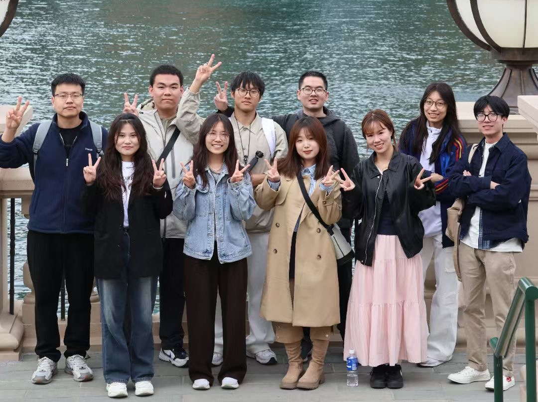
北京环球影城旅行纪念
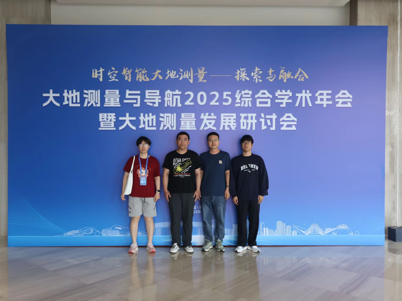
2025大地测量研讨会合影纪念
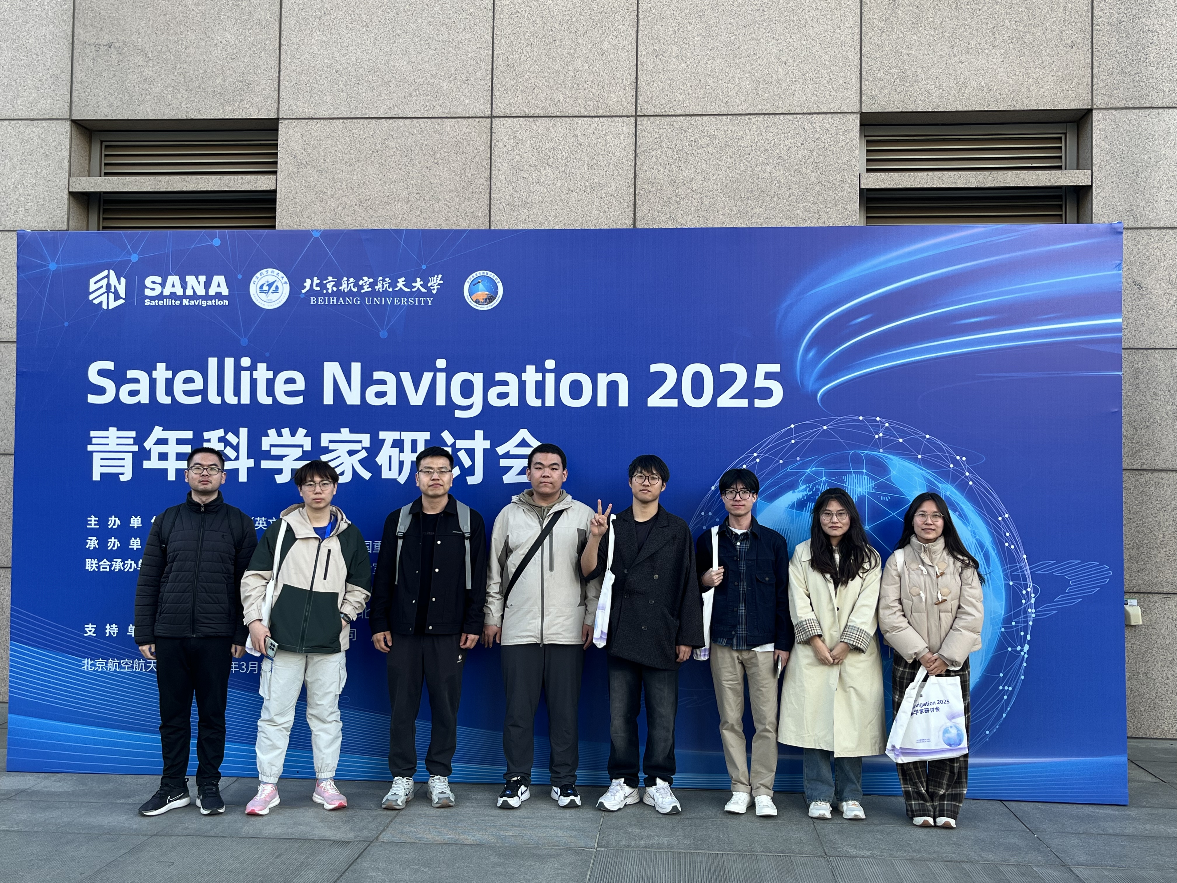
Satellite Navigation 2025青年科学家研讨会合影
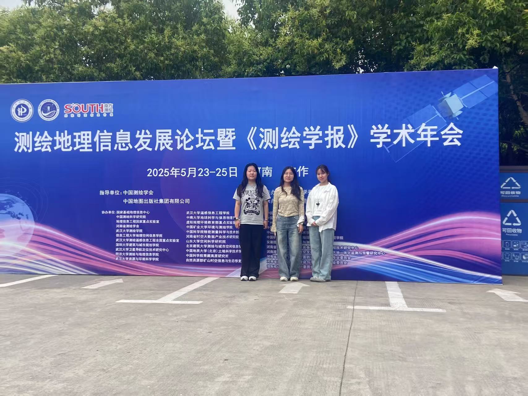
测绘地理信息发展论坛暨《测绘学报》学术年会合影
publications
荣誉奖励:
2025,首都前沿学术成果
2024,中国矿业大学(北京)专业学位研究生优秀教学案例
2024,中国矿业大学(北京)大学生创新训练项目优秀指导教师
2024,中国矿业大学(北京)优秀教学质量奖
2024,中国矿业大学(北京)优秀本科生全程导师奖
2023,地理信息科技进步一等奖
2023,北京市大学生测绘技能竞赛优秀指导教师
2022,全国高等学校测绘类专业青年教授讲课竞赛/GNSS原理与应用二等奖
2022,全国高校GIS技能大赛优秀指导老师
2022,北京市测绘技能大赛优秀指导教师奖
2022,中国矿业大学(北京)优秀班主任
2022,中国矿业大学(北京)青年教师教学优秀奖
2022,中国矿业大学(北京)优秀本科生全程导师奖
2021,北京市大学生虚拟仿真测图技能大赛优秀指导教师
2021,中国测绘学会PIE遥感与地理信息一体软件二次开发大赛优秀指导老师
2020,武汉大学优秀毕业生代表
2020,武汉大学学术创新一等奖
2019,武汉大学乐群学术之星
2019,博士研究生国家奖学金
指导学生获奖:
2024,全国大学生测绘学科创新创业大赛科技论论文竞赛二等奖
2024,中国矿业大学(北京)优秀本科毕业设计
2024,中国矿业大学(北京)优秀大学生创新训练项目
2023,第十四届北京市大学生测绘技能竞赛团体二等奖
2023,中国矿业大学(北京)优秀本科毕业设计一等奖
2023,全国大学生测绘学科创新创业智能大赛科技论文竞赛二等奖
2023,全国大学生测绘学科创新创业智能大赛测绘程序竞赛一等奖
2022,全国大学生测绘学科创新创业智能大赛科技论文竞赛一等奖
2022,全国大学生测绘学科创新创业智能大赛科技论文竞赛二等奖
2022,全国高校GIS技能大赛论文三等奖
2022,北京市测绘技能大赛团体一等奖
2021,中国测绘学会PIE遥感与地理信息一体化软件二次开发大赛一等奖
2021,中国矿业大学(北京)优秀本科毕业设计
2021,全国高等学校大学生测绘技能大赛测绘程序设计竞赛二等奖
2021,全国高等学校大学生测绘技能大赛团体二等奖
2021,北京大学生虚拟仿真测图技能大赛团体一等奖
talks
授权发明专利
- 杨飞, 王金阳等. 基于气候潜在补偿的矿区植被碳汇贡献量计算与分析方法. ZL202211133129.0
- 杨飞, 汪莹莹等. 一种抗差自适应的GNSS水汽层析方法. ZL202211430336.2
- 杨飞, 刘明佳等. 一种顾及地表气温和水汽压的大气加权平均温度精化方法. ZL202211535044.3
- 杨飞, 陈维聪等. 顾及环境特征因子的边坡变形位移量模型预测方法及系统. ZL202510012903.X
代表性科研项目:
- 国家自然科学青年基金,地基北斗/GNSS水汽层析优化建模及稳定解算方法研究,主持
- 北京市自然科学基金,基于地基北斗/GNSS的北京冬奥赛区水汽层析反演研究,主持
- 博士后基金面上项目,约束优化的地基GNSS水汽层析算法研究,主持
- 武汉大学测绘遥感信息工程国家重点实验室开放基金,参数自适应的北斗/GNSS三维水汽层析优化算法研究,主持
- 资源与环境信息系统国家重点实验室基金,融合多源数据的高时空分辨率大气水汽产品研制,主持
- 煤炭资源与安全开采国家重点实验室基金,基于GRACE的地下水变化与矿区开采及生态修复相关性分析研究,主持
- 大地测量与地球动力学国家重点实验室基金,基于多源数据的地基GNSS水汽层析方法与应用研究,主持
代表性论文:
2025年
- Yang F*, Sun Y, et al. A new way to obtain the weighted mean temperature (Tm): Using the Geostationary Interferometric Infrared Sounder (GIIRS) equipped on FengYun Satellite. Atmospheric Research, 2025, 318, 107997. (IF=4.5,JCR一区,中科院二区)
- Wen Z, Yang, F*, et al. Spatio-temporal evaluation of tropospheric delay products in China using CMONOC data as reference. Advances in Space Research, 2025, 6, 75. (IF=2.8,JCR一区,中科院三区)
- Du, T, Yang, F*, et al. Long Time Series Spatiotemporal Variations in NPP Based on the CASA Model in the Eco-Urban Agglomeration Around Poyang Lake, China. Remote Sensing. 2025, 17, 80. (IF=4.2,JCR一区,中科院二区)
- 杨飞*,汪莹莹等. 基于GNSS观测的2023北京特大暴雨分析. [J]. 测绘学报, 2025,54(1):14-25.
- Hao, R, Yang, F, et al. ERA5-SH: A global grided scale height dataset for tropospheric parameters based on ERA5 reanalysis. *Scientific Data, 2025, 12, 381. (IF=5.8,JCR一区,中科院二区)
2024年
- Wang Y, Yang F*, et al. An optimal calibration method for MODIS precipitable water vapor using GNSS observations. Atmospheric Research. 2024, 309(15), 107591.(IF=4.5,JCR一区,中科院二区)
- Zhang H, Yang F*, et al. Evaluation of the Zenith Tropospheric Delay (ZTD) Derived from VMF3_FC and VMF3_OP Products Based on the CMONOC Data. Atmosphere, 2024. (IF=2.5, JCR三区,中科院四区)
- Yao Y, Yang F*, et al. Comparing discrete and empirical troposphere delay models: A global IGS-based evaluation. Radio Science, 2024, 59(6), 1-12. (IF=1.6,JCR三区,中科院四区)
- Hao R, Xu T, Yang F*, et al. Spatial-Temporal Variation of Water Vapor Scale Height and Its Impact Factors in different climate zones of China. Advances in Space Research, 2024, 74(4), 1576-1585. (IF=2.8,JCR二区,中科院三区)
- Wang J, Cui K, Yang F*, et al. Evaluation of Spatiotemporal variation and Impact factors for Vegetation Net Primary Productivity in a typical open-pit Mine in northwest China. Land Degradation and Development, 2024, 35(12), 3756-3770.(IF=3.6,JCR二区,中科院二区)
- Yang F*, Liu M, et al. Higher accuracy estimation of the weighted mean temperature (Tm) using GPT3 model with new grid coefficients over China. Atmospheric Research, 2024, 305, 107424. (IF=4.5,JCR一区,中科院二区)
- Li J, Yang F*, et al. Unraveling the accuracy enigma: investigating ZTD data precision in TUW-VMF3 and GFZ-VMF3 products using a comprehensive global GPS dataset. IEEE Transactions on Geoscience and Remote Sensing, 2024, 62, 5800710. (IF=7.5,JCR一区,中科院一区)
- Yang F*, Gong X, et al. Spatiotemporal distribution and impact factors of GNSS-PWV in China based on climate region. Advances in Space Research, 2024, 73, 8, 4187-4201. (IF=2.8,JCR一区,中科院三区)
- Yuan D, Li J, Yang F*, et al. Assessment of the three representative empirical models for zenith troposphere delay (ZTD) using the CMONOC data. Geodesy and Geodynamics. 2024. (IF=2.8,JCR二区,中科院四区)
- 杨飞*,崔宽宽等. 露天煤矿排土场长时序植被碳汇分级方法构建及分析[J]. 煤田地质与勘探, 2024, 52(5): 139-150.
2023年
- Yang F*, Gong X, Wang Y. et al. GNSS water vapor tomography based on Kalman filter with optimized noise covariance. GPS Solutions 2023, 27, 181. (IF=4.5,JCR一区,中科院一区)
- Yang F*, Sun Y, Meng X, et al. Assessment of tomographic window and sampling rate effects on GNSS water vapor tomography. Satellite Navigation. 2023, 4, 7. (IF=9,JCR一区,中科院一区)
- Sun Y, Yang F*, Liu M. et al. Evaluation of the weighted mean temperature over China using multiple reanalysis data and radiosonde. Atmospheric Research. 2023, 285, 106664. (IF=4.5,JCR一区,中科院二区)
2022年
- Yang F*, Guo J, Meng X, et al. GGTm-Ts: a global grid model of weighted mean temperature (Tm) based on surface temperature (Ts) with two modes. Advances in Spaces Research. 2022, 71(3): 1510-1524. (IF=2.8,JCR一区,中科院三区)
- Yang F*, Wang L, Li Z, et al. A weighted mean temperature (Tm) augmentation method based on global latitude zone. GPS Solutions, 2022, 26, 141. (IF=4.5,JCR一区,中科院一区)
- Li Z, Gong X, Liu M, Yang F*. A Temperature Refinement Method Using the ERA5 Reanalysis Data. Atmosphere, 2022, 13, 1622. (IF=2.5,JCR三区,中科院四区)
- Li J, Guo T, Yang F*, et al. The fractional vegetation cover (FVC) and associated driving factors modelling in mining areas. Photogrammetric Engineering and Remote Sensing. 2022. (IF=1,JCR四区,中科院四区)
- Sun Y, Jiang J, Yang F*, et al. Spatial-temporal variation analysis of water storage and their impacts on ecological environment in high-intensity coal mining areas. Land Degradation and Development.2023, 34(2): 338-352. (IF=3.6,JCR二区,中科院二区)
- Yang F*, Wang J, Wang H, Gong X, et al. Assessment of the Water Vapor Tomography Based on Four Navigation Satellite Systems and Their Various Combinations. Remote Sens. 2022, 14, 3552. (IF=4.2,JCR一区,中科院二区)
- Yang F*, Wang J, et al. The Impact of Human Activities on Net Primary Productivity in a Grassland Open-Pit Mine The Case Study of the Shengli Mining Area in Inner Mongolia, China. Land, 2022. (IF=3.2,JCR二区,中科院二区)
- 杨飞*. 地基GNSS反演水汽空间分布关键技术研究. 测绘学报. 2022, 51(3): 470.
- 杨飞*, 郭际明, 陈明, 章迪. GNSS大气加权平均温度经验模型精化方法的建立和分析[J]. 测绘学报, 2022, 51(11): 2339-2345.
- 杨飞, 张成业, 李军等. 基于GRACE 的黄河流域陆地水储量时空变化研究[J]. 煤田地质与勘探,2022, 50(4): 106−112.
2021年
- Yang F*, Meng X, Guo J, Yuan D, Chen M. Development and Evaluation of the Refined Zenith Tropospheric Delay (ZTD) models. Satell Navig. 2021, 2: 21(IF=9,JCR一区,中科院一区)
- Yang F*, Guo J, Meng X, Li J, Zou J, Xu Y. Establishment and Assessment of a Zenith Wet Delay (ZWD) Augmentation Model. GPS Solut. 2021, 25: 148. (IF=4.5,JCR一区,中科院一区)
- Yang F*, Guo J, Li J, Zhang C, Chen M. Assessment of the Troposphere Products Derived from VMF Data Server with EAR5 and IGS Data over China. Earth Space Sci. 2021, e2021EA001815. (IF=2.9,JCR二区,中科院三区)
- Yang F*, Guo J, Meng X, Li J, Zhou L. A Global Grid Model for Calibration of Zenith Hydrostatic Delay. Advances in Space Research. 2021, 68, 3574-3583. (IF=2.8,JCR一区,中科院三区)
- Yang F*, Guo J, Zhang C, Li Y, Li J. A Regional Zenith Tropospheric Delay (ZTD) Model Based on GPT3 and ANN. Remote Sensing. 2021, 13, 838. (IF=4.5,JCR一区,中科院一区)
- 杨飞*,郭际明,李弈韬,等. GPT3模型估计对流层产品精度检验与分析. 大地测量与地球动力学. 2021, 41(11): 1123-1126.
2020年及以往
- Yang F, Guo J, Meng X. et al. An improved weighted mean temperature (Tm) model based on GPT2w with Tm lapse rate. GPS Solutions, 2020, 24, 46. (IF=4.5,JCR一区,中科院一区)
- Yang F, Meng X, Guo J. et al. The Influence of Different Modelling Factors on Global Temperature and Pressure Models and Their Performance in Different Zenith Hydrostatic Delay (ZHD) Models. Remote Sens. 2020, 12, 35. (IF=4.5,JCR一区,中科院一区)
- Yang F, Guo J, Shi J, Meng X. et al. A GPS water vapor tomography method based on a genetic algorithm. Atmospheric Measurement Technique. 2020, 13, 355–371. (IF=3.2,JCR二区,中科院三区)
- Yang F, Guo J, Meng X, Shi J. et al. Determination of Weighted Mean Temperature (Tm) Lapse Rate and Assessment of Its Impact on Tm Calculation. IEEE Access. 2019, 7,1. (IF=3.4,JCR二区,中科院三区)
- Yang F, Guo J, Meng X, Shi J, Zhou L. Establishment and Assessment of a New GNSS Precipitable Water Vapor Interpolation Scheme Based on the GPT2w Model. Remote Sens. 2019, 11, 1127. (IF=4.5,JCR一区,中科院一区)
- Yang F, Guo J, Shi J, et al. A New Method of GPS Water Vapor Tomography for Maximizing the Use of Signal Rays. Appl. Sci. 2019, 9, 1446. (IF=2.5,JCR一区,中科院四区)
- Yang F, Guo J, Shi J, Zhou L, et al. A Method to Improve the Distribution of Observations in GNSS Water Vapor Tomography. Sensors. 2018, 18, 2526. (IF=3.4,JCR二区,中科院三区)
- Guo J, Yang F, Shi J, Xu C. An Optimal Method of Global Positioning System (GPS) Troposphere Tomography. IEEE J Sel Top Appl Earth Obs Remote Sens. 2016, 12, 5880-5887. (IF=4.7,JCR一区,中科院二区)
teaching
研究生课程
《GNSS地学应用》16学时
《信息化测绘及资源环境监测前沿》4学时
本科生课程
《数据结构》48学时
《测绘遥感学科导论》2学时
《GNSS原理及其应用》40学时